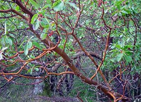
Point Reyes
Waterproof Hiking & Biking Trail Map
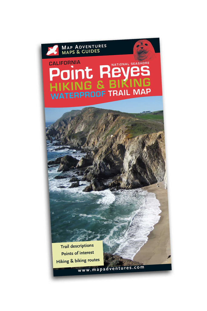
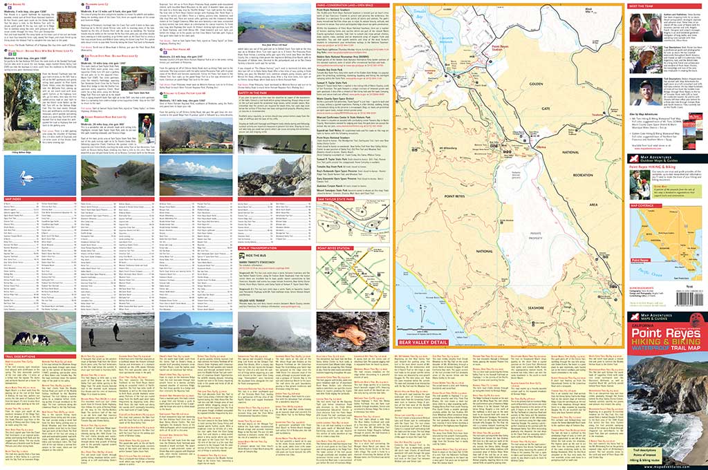
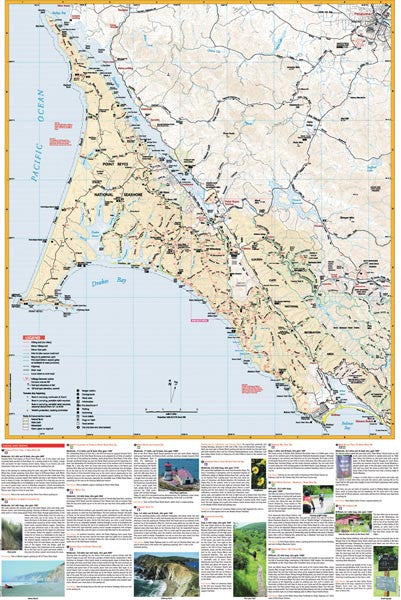
This map has something for everyone, it includes detailed descriptions of 21 hiking and biking routes scattered throughout the Point Reyes area, along with 80 individual trail descriptions.
The two-sided waterproof map depicts nearly 100 hiking trails through out Point Reyes National Seashore. Other features of the map include camping, boat-in camping for Tomales Bay kayaking, parking, easy-to-use mileage points, points of interest and shaded areas depicting state parks, and sections of the Golden Gate National Recreation Area.
Map Features
- Hiking routes
- Bike routes
- Public transportation to trail heads
- Mileage between points
- Camping, parks
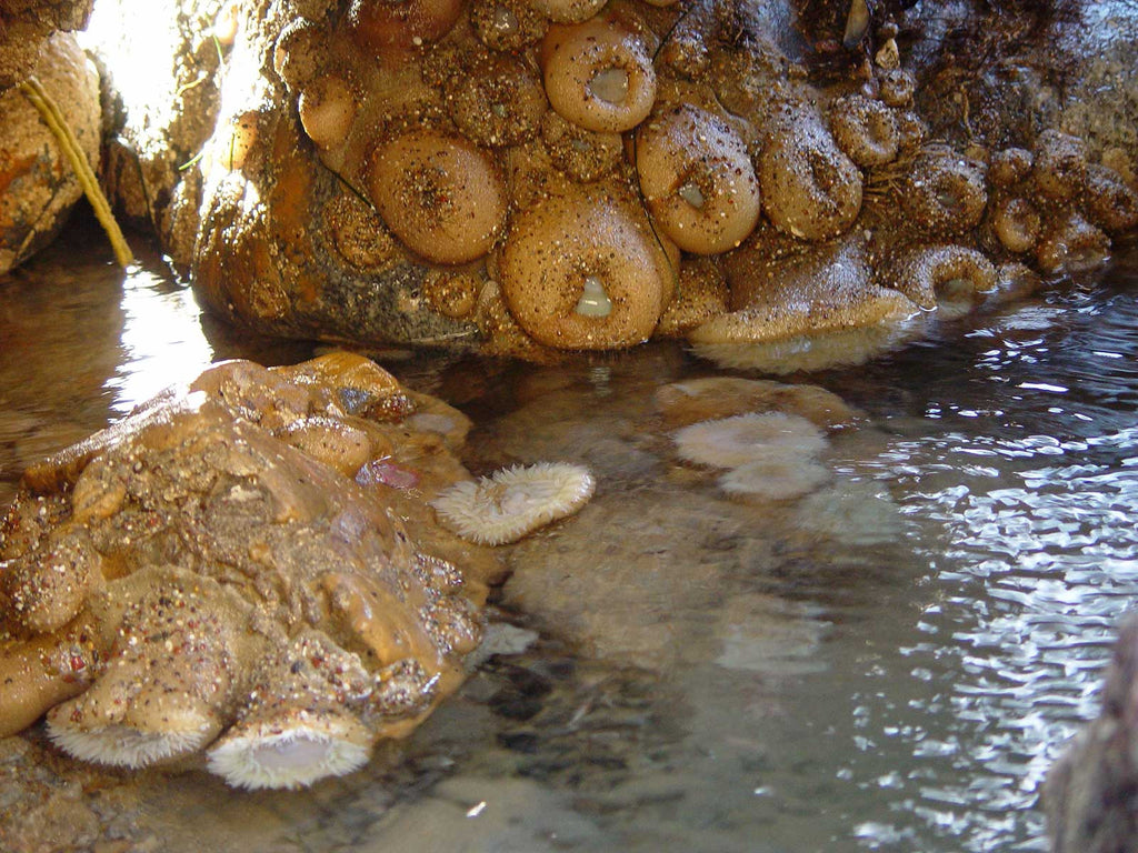
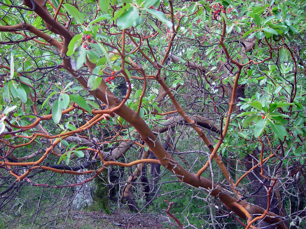
- Points of interest
Areas covered
- Point Reyes National Seashore
- Bear Valley Detail Map
- Stinson Beach
- Sam Taylor State Park
- Tomales Bay State Park
- Point Reyes Station
Topographic Map: waterproof | 24" x 36" unfolded | ISBN 978-1-890060-30-5 | scale 1:65 000 | Map Adventures LLC
Digital Version Available
Our digital map versions are the perfect companion maps to our content rich, maps & guides. Download the map on your devices to easily track your location on the map.
Click on the link to buy a digital version of this map for your IOS or Android device.