Mt. Tam
Waterproof Hiking & Biking Trail Map

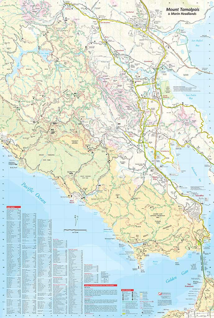

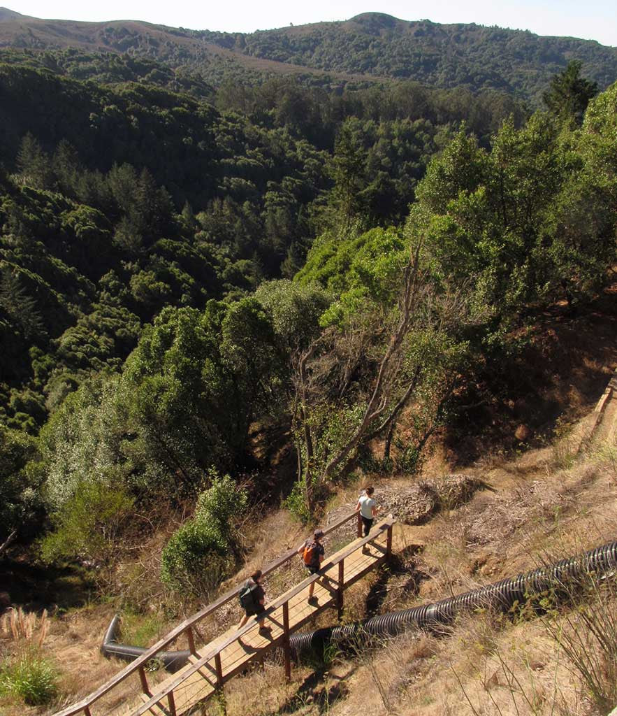
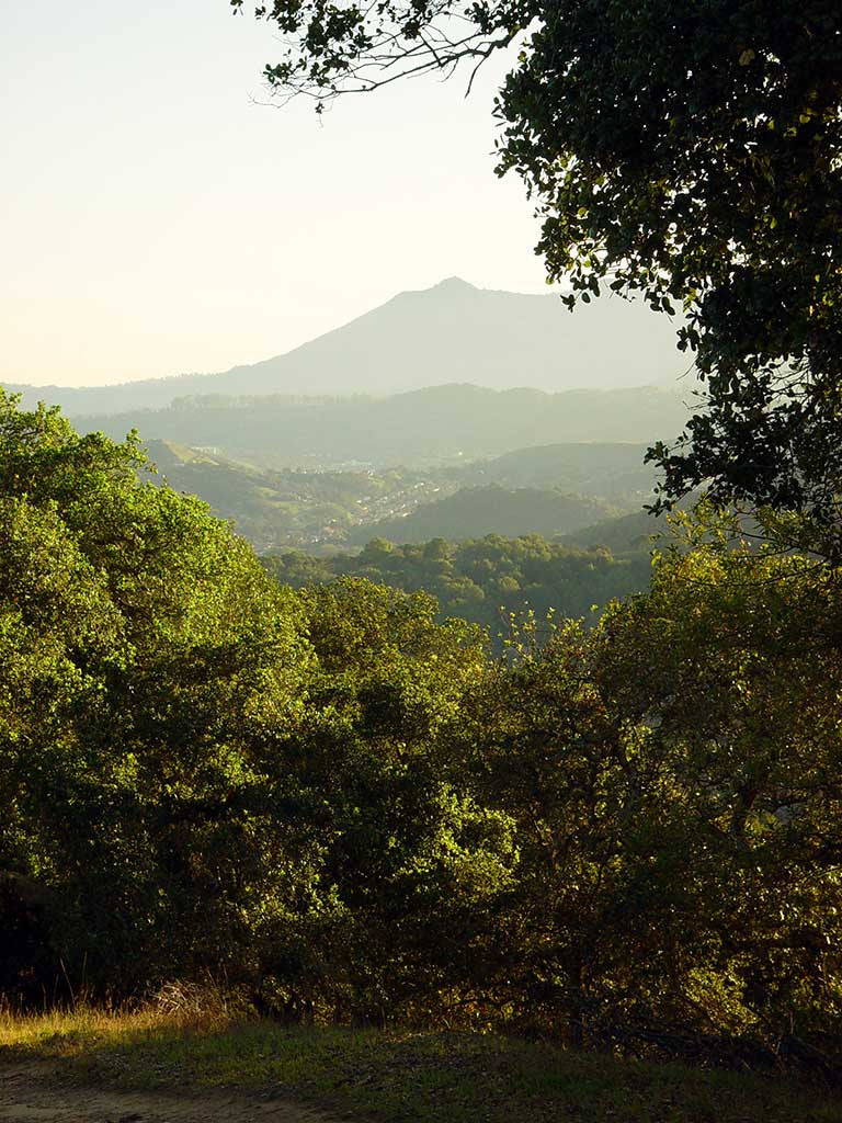

Mount Tamalpais (pronounced tam-ul-pié-us), locally know as Mt. Tam, is surrounded by preserves and open spaces. It offers a variety of walks and hikes – mountain summits with spectacular ocean views, sandy beaches, quiet nature preserves, and freshwater lakes and ponds. This is one of the finest trail systems in the country.
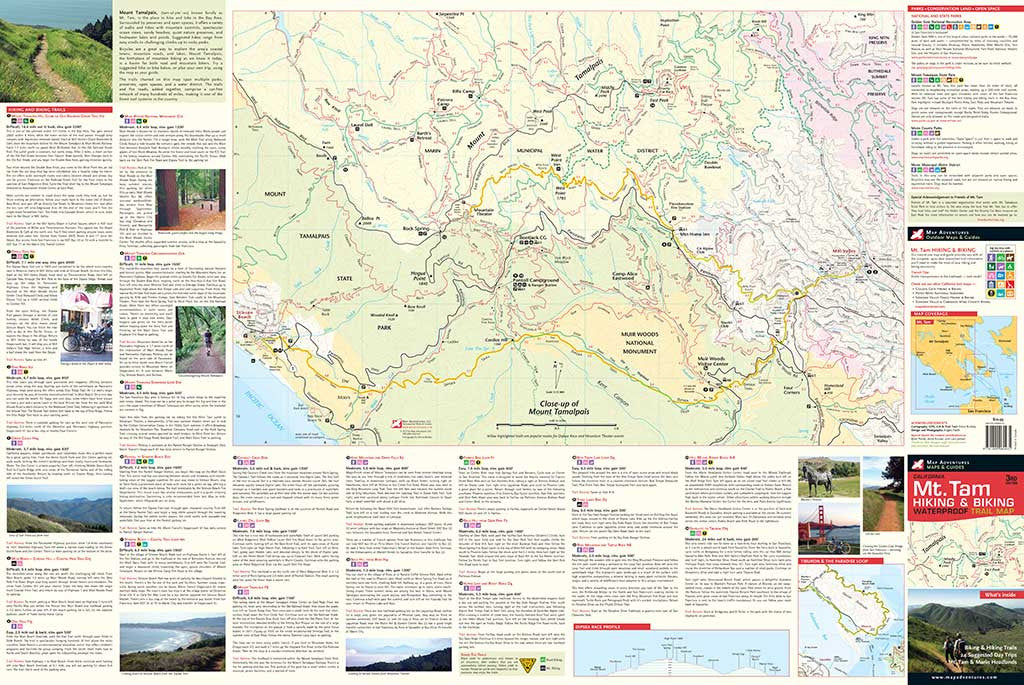
Map Features
- A map index of 252 trails & forest roads
- 24 suggested day trips for hiking and biking
- Close-up map of Dipsea Race and Mountain Theater routes
- Mileage between points
- Points of interest
- Camping, parks, and preserves
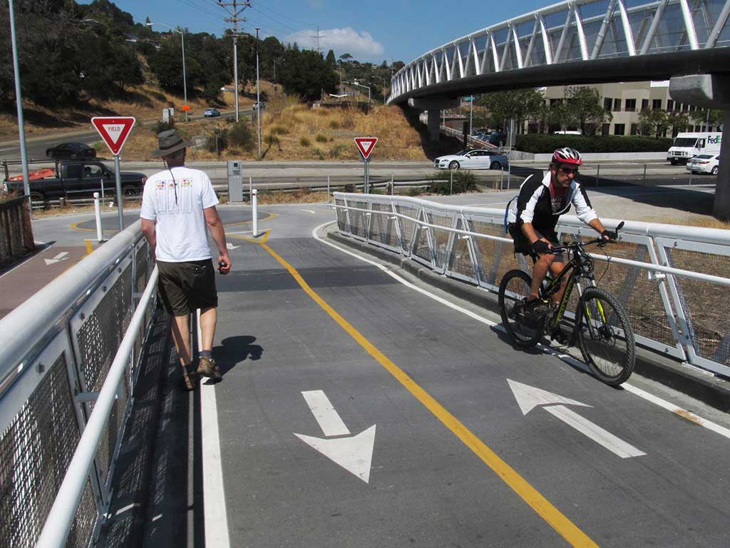
- Key public transportation bus stops and ferry routes!
Areas Covered
- Mount Tamalpais, Marin Headlands, Golden Gate National Recreation Area
- Paradise Loop - popular biking route from San Francisco to San Rafael
- Muir Woods, Muir Beach, Stinson Beach and the Presidio
- Marin Municipal Water District and Marin County Open Space District
- Ring Mountain hiking and biking trails
Topographic Map: Waterproof | 36" x 24" unfolded | ISBN 978 1890060435 | scale 1:25 000 and 1:15 000 | Map Adventures LLC
Digital Version Available
Our digital map versions are the perfect companion maps to our content rich, maps & guides. Download the map on your devices to easily track your location on the map.
Click on the link to buy a digital version of this map for your IOS or Android device.