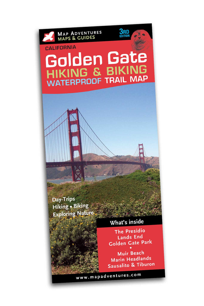
Golden Gate
Waterproof Hiking & Biking
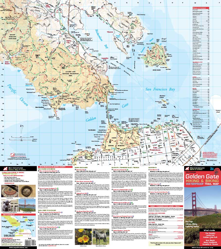
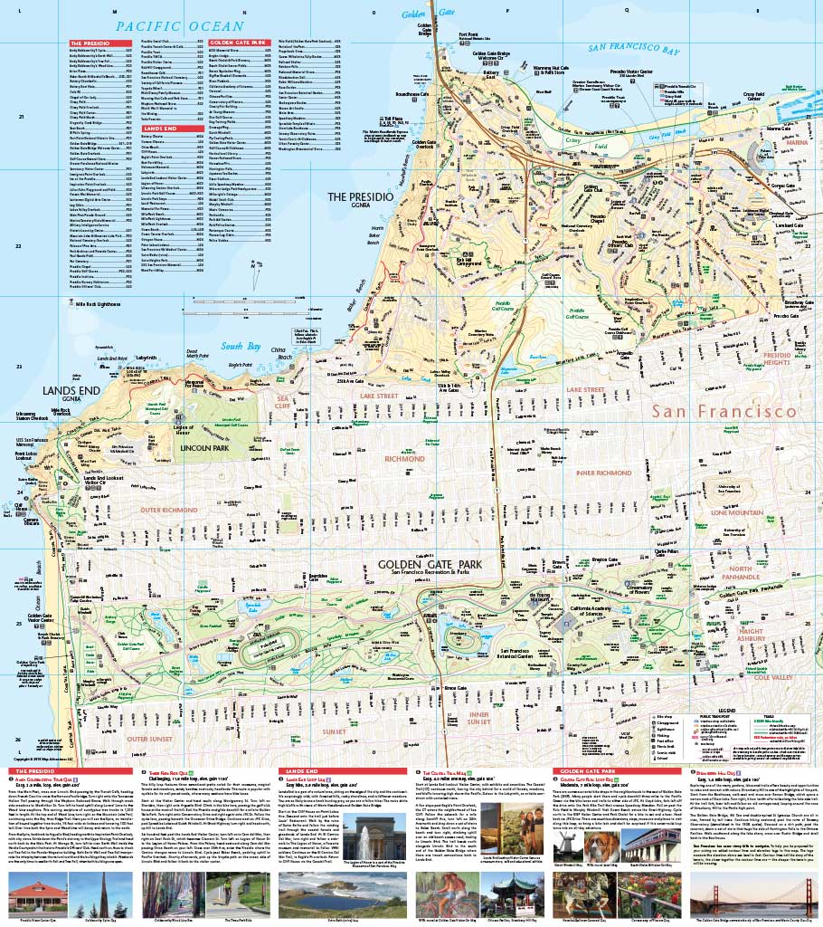
This easy-to-use waterproof map helps navigate you through San Francisco’s parks and historic sites with ease. Whether you are hiking, biking, or exploring world-class art at the de Young Museum in Golden Gate Park, our map and guide shows you the trails and essential sights of San Francisco, all in one concise map and guide.
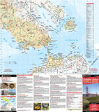
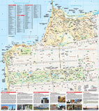
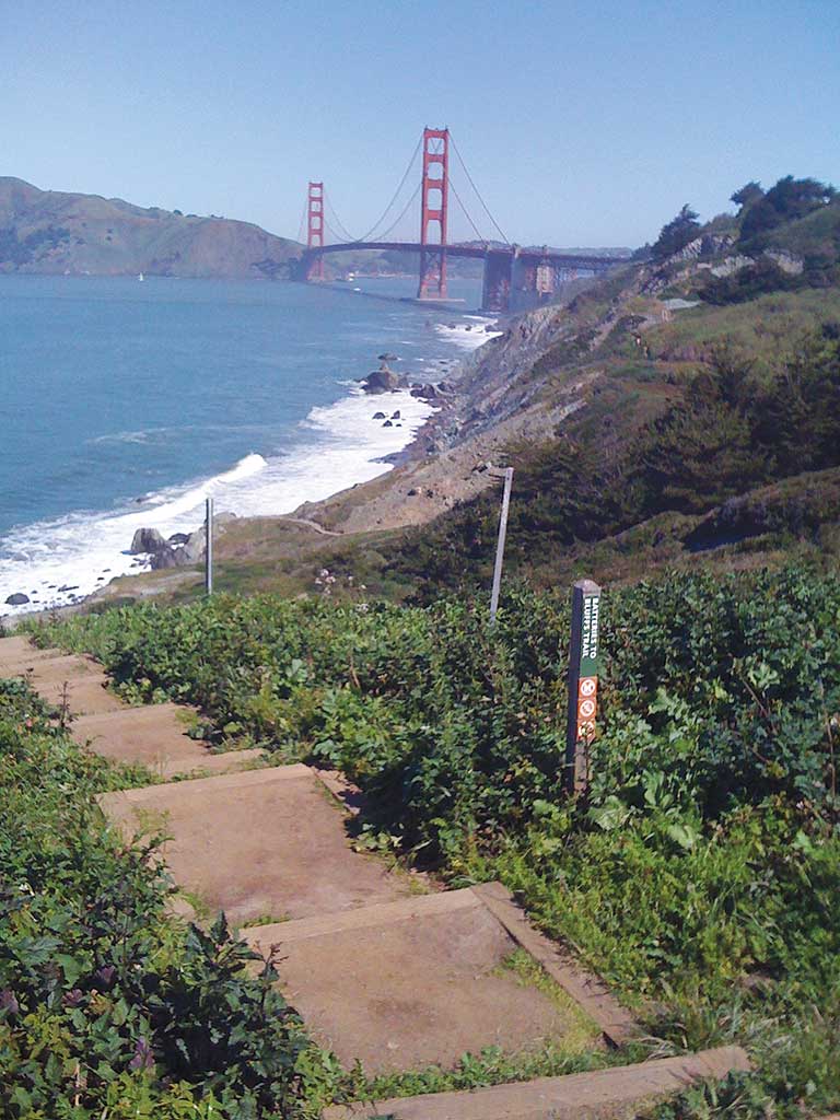
One side of the map has a very generous detail of The Presidio, Lands End and the Golden Gate Park. Crossing the Golden Gate Bridge and the flip side of the map highlights the Marin Headlands, to Sausalito, Angel Island and Tiburon.
Map Features
- 22 Hiking & Biking Suggested Outings
- Public transportation to trail heads
- Mileage between points
- Camping, Parks and Trails
- Points of Interest
Areas covered
- The Presidio
- Lands End
- Golden Gate Park
- Northern San Francisco
- Golden Gate Bridge
- Alcatraz Island
- Angel Island
- Marin Headlands
- Mill Valley/Sausalito Bike Path
- Golden Gate National Recreation Area
Topographic Map: Waterproof | 24" x 27" unfolded | ISBN 978-1890060466 | scales 1:10 000, 1:33 330 | Map Adventures LLC
Digital Version Available
Our digital map versions are the perfect companion maps to our content rich, maps & guides. Download the map on your devices to easily track your location on the map.
Click on the link to buy a digital version of this map for your IOS or Android device.

