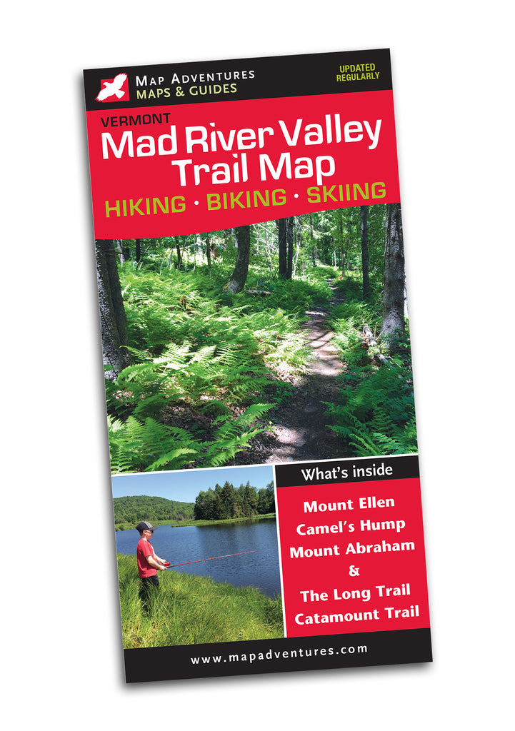
Mad River Valley Trail Map
Waterproof Hiking • Biking • Skiing


Order Here
Mad River Valley Trail Map - expanded and better than ever!
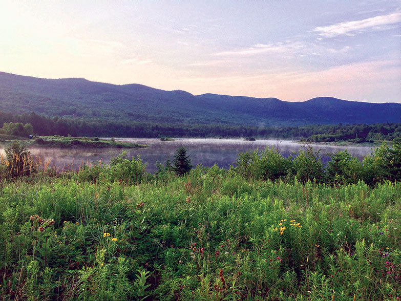
The Mad River Valley map is a year-round trail map, one side focuses on the Mad River Valley hiking and mountain bike trails. The other displays the Long Trail network that traverses the peaks of Mt Abraham, Mt Ellen and Camel’s Hump.
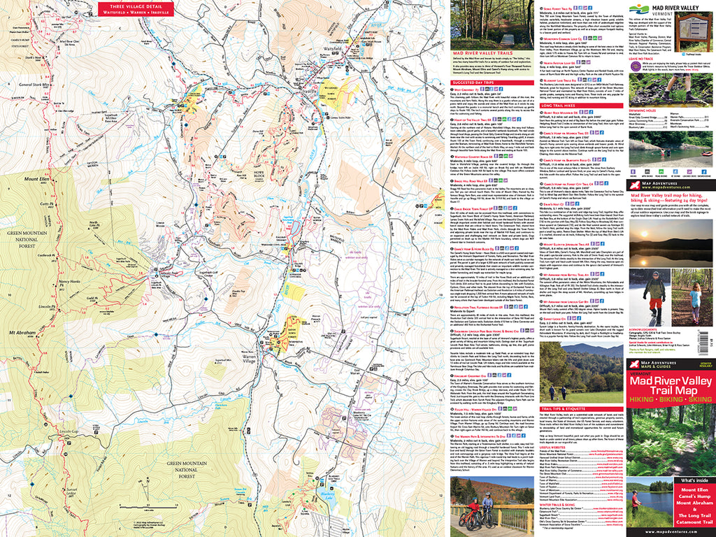
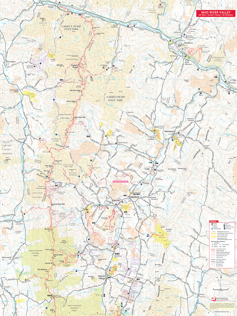
Map Features
- 24 Suggested Day Trips
- Mountain Biking Areas & Trails
- Mad River Valley Trails
- Trailhead Parking
- Sections of both Long Trail & Catamount Trail
- Detail maps of: Waitsfield, Warren & Irasville
Areas Covered
- Camel’s Hump
- Mt Abraham & Mt Ellen
- Mad River Valley Trails
- Trail Clubs & Conservation Areas
Waterproof Map | 24" x 32"| ISBN 978 1890 060497 | scale 1:25 000 and 1:42 000 | Map Adventures LLC
Digital Version Available
Our digital map versions are the perfect companion maps to our content rich, maps & guides. Download the map on your devices to easily track your location on the map.
Click on the link to buy a digital version of this map for your IOS or Android device.