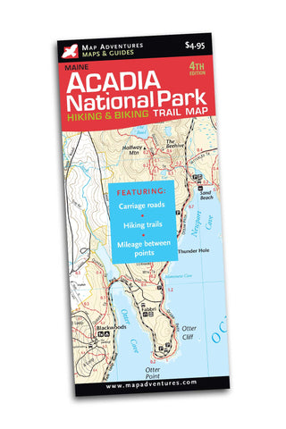
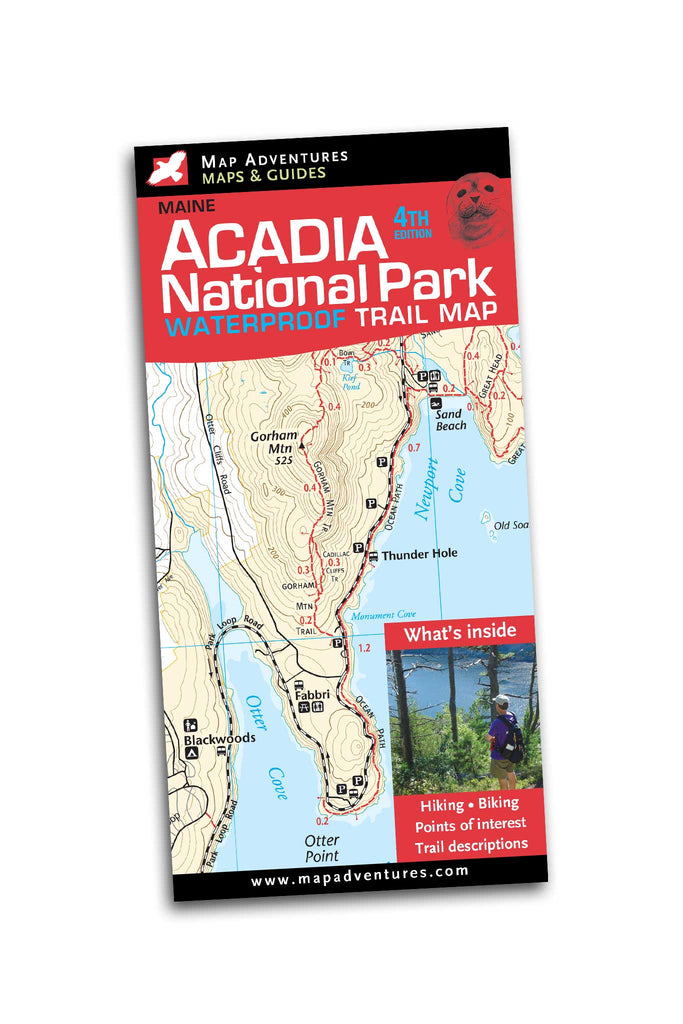
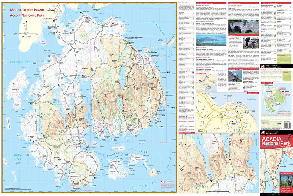
Acadia National Park
Waterproof Trail Map


Order Here
Fourth Edition The beauty of this spectacular area makes for the best hiking and biking that Maine has to offer. Acadia National Park is an area you will want to come back to visit - over and over. This rugged, waterproof map will last for trip after trip.
Map Features
- 21 suggested hikes
- 6 suggested biking routes
- a whole island map of Mount Desert Island
- mileage between points on trails and Carriage Roads
- Carriage Road intersection signpost numbers—useful info for bikers & hikers
- Island Explorer bus stops
- latitude/longitude grid for GPS users
- campgrounds
- points of interest
- detail map of Bar Harbor
- index of trails, with difficulty ratings
Areas Covered
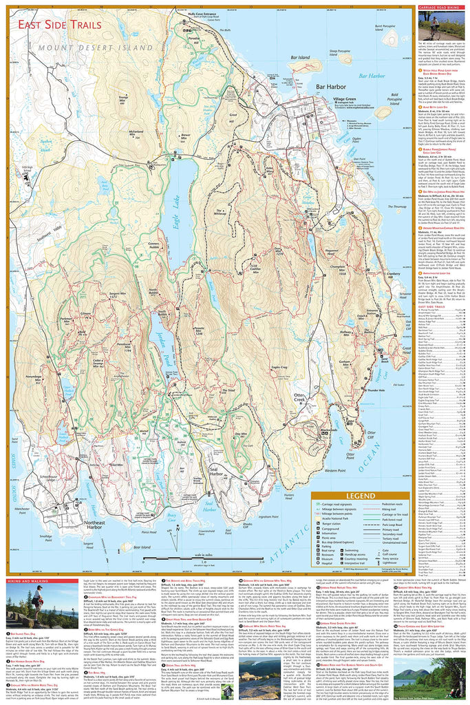
National Park land in the East and West Sides, including
- Bar Harbor
- Somes Sound
- Jordan Pond
- Eagle Lake
- Long Pond
- Echo Lake
- Bass Harbor
- Seal Cove Pond
- Southwest Harbor
- Northeast Harbor
- Norumbega Mountain
- Bernard Mountain
- Cadillac Mountain
Map: Waterproof | 24 x 36 in unfolded | ISBN -1-890060-24-0 | scale 1:20 500 | Map Adventures LLC
Digital Version Available
Our digital map versions are the perfect companion maps to our content rich, maps & guides. Download the map on your devices to easily track your location on the map.
Click on the link to buy a digital version of this map for your IOS or Android device.