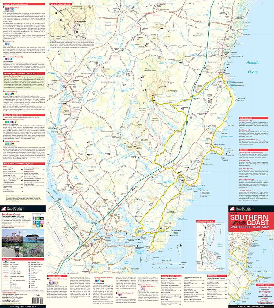
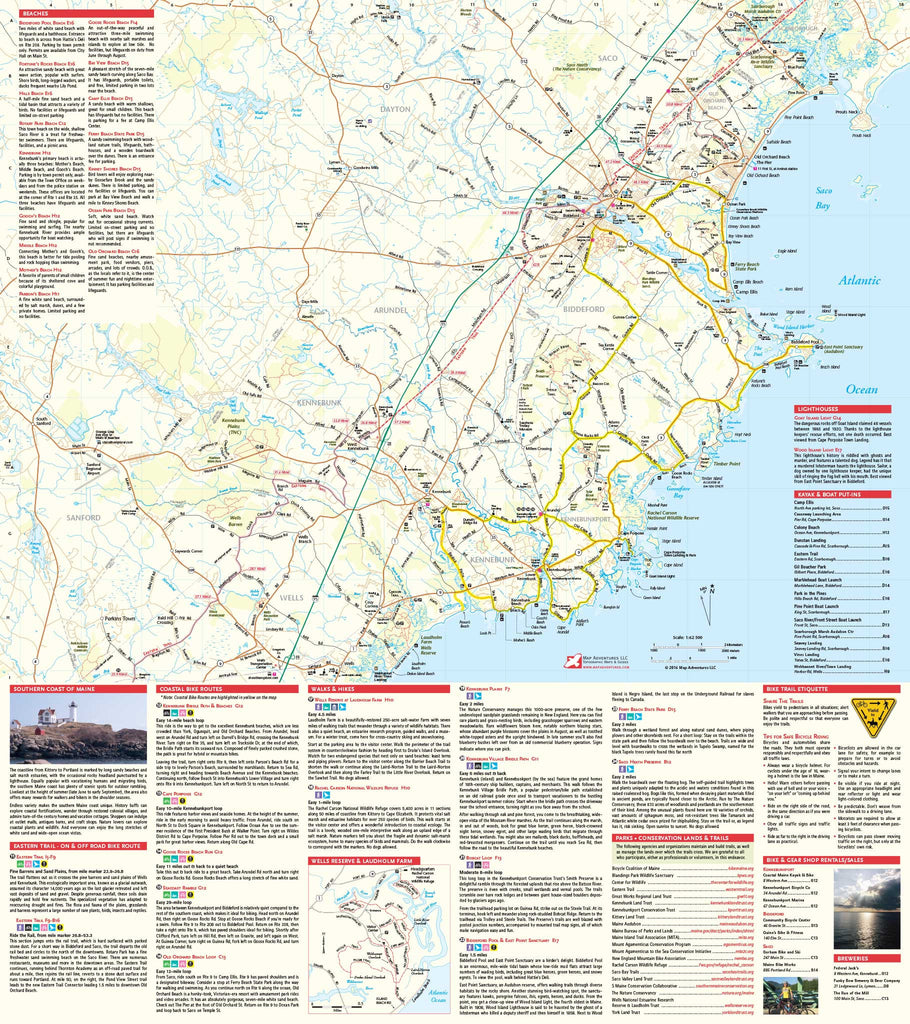
Maine Southern Coast
Waterproof Traveler’s Map & Guide
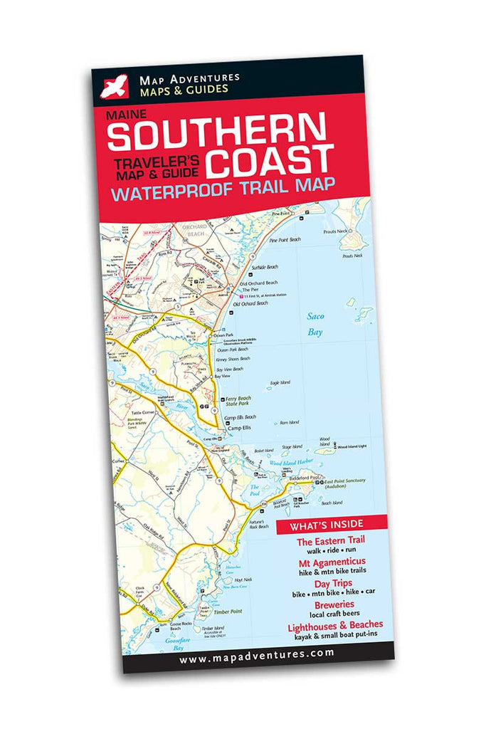
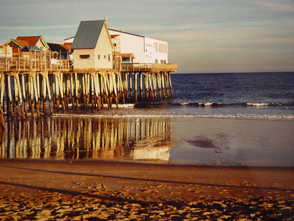

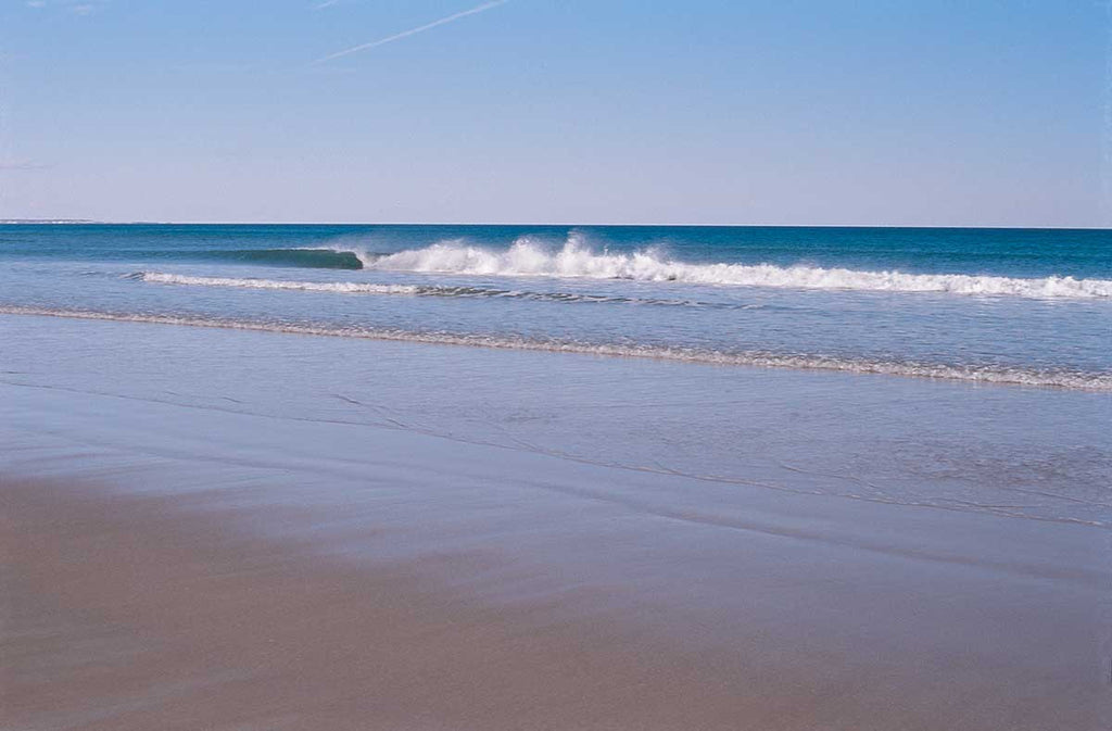

Long sandy beaches and salt marsh estuaries mark the coastline from Kittery to Portland, with the occasional rocky headland punctuated by a lighthouse or two.
Endless variety makes the southern Maine coast unique. History buffs can explore coastal fortifications, wander through restored colonial villages and admire turn-of-the century homes and vacation cottages. Shoppers can indulge at outlet malls, antiques barns, and craft shops. Nature lovers can study the coastal plants, birds and wildlife. And everyone can enjoy the long stretches of white sand and wide-open ocean vistas.
Map Features
- Suggested Day Trips via bike, foot or car
- Kayak and small boat put-ins
- Breweries – local craft beer tasting rooms
- Mount Agamenticus – mountain bike and hiking trails
- Lighthouses, Beaches, the Eastern Trail, and East Coast Greenway
Area Covered
- The coastline from Old Orchard Beach to Kittery and Portsmouth, NH
Waterproof Map: 24" x 27" unfolded | ISBN978-1890060411 | scale: 1 : 62 500 and 1: 50 000 | Map Adventures LLC
Digital Version of Mount Agamenticus Available
Our digital map versions are the perfect companion maps to our content rich, maps & guides. Download the map on your devices to easily track your location on the map.
Click on the link to buy a digital version of this map for your IOS or Android device.