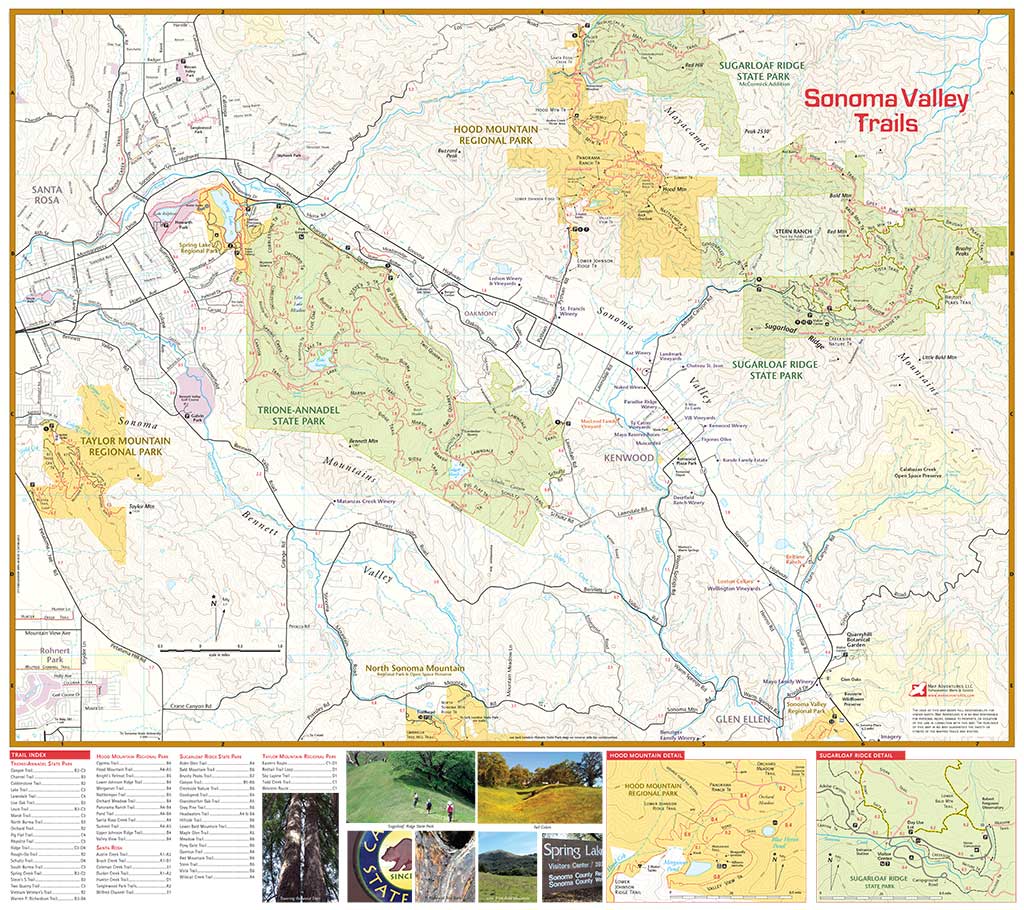
Sonoma Valley Trails
Waterproof Hiking • Biking • Walking
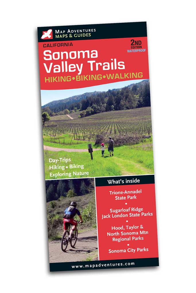
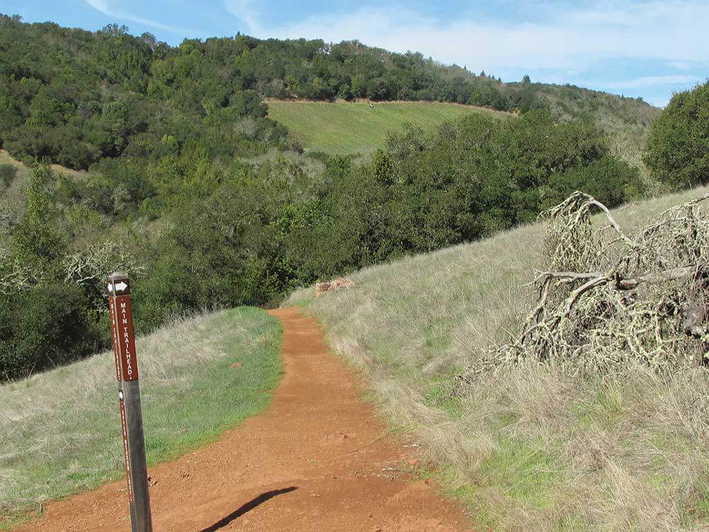

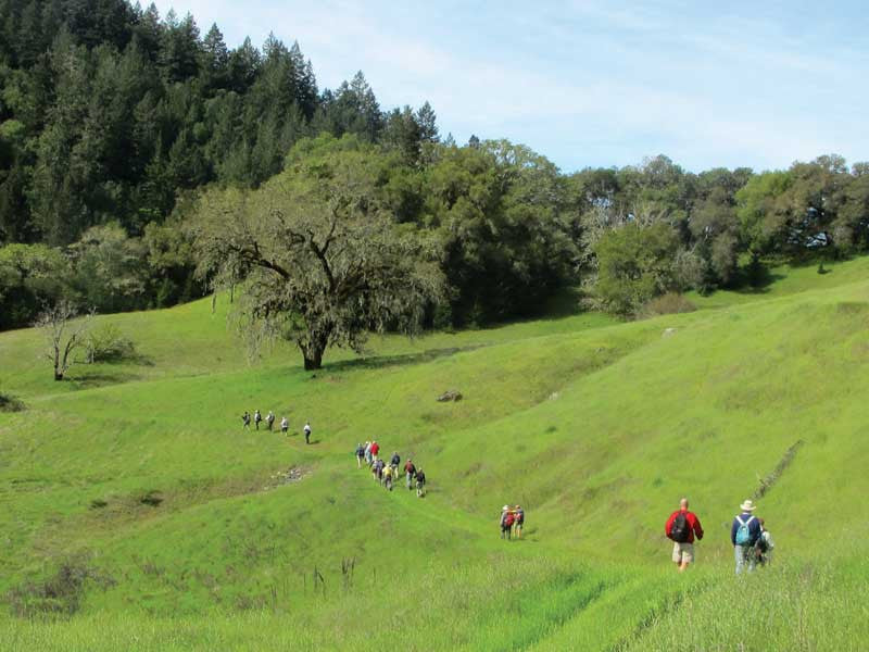
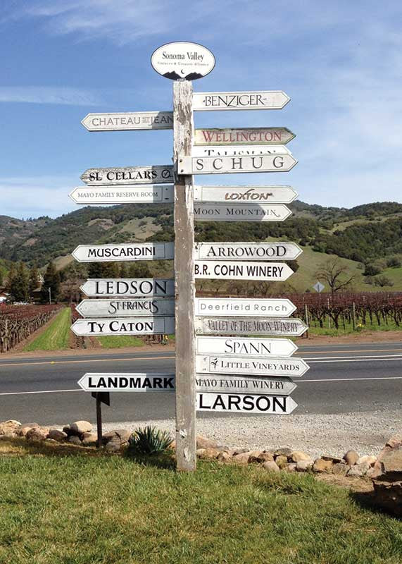
Second Edition—Map Adventures Sonoma, California Hiking and Biking Map is your indispensable guide to the beautiful Sonoma Valley. Experience the parks, scenic hikes, wildlife and nature that this area has to offer. Discover wineries along the way as you hike in a variety of unique climate and geography that influences the harvest.
Map Features
- Multi-use trails, camping, parking, miles between points, index of trails, parks, conservation land and open space usage & contact information
- Suggested day-trips
- Wineries and points of interest
Areas Covered
Sonoma County State Parks
- Trione-Annadel
- Sugarloaf Ridge
- Jack London Historic
- Sonoma State Historic Park
Sonoma Regional Parks
- Hood Mountain
- Taylor Mountain
- North Sonoma Mountain
- Maxwell Farms
- Spring Lake
- Sonoma Valley
Sonoma City Parks
- Montini Preserve
- Sonoma Overlook trail
- Maxell Farms Regional Park
Topographic Trail Map: waterproof | 24”" x 27" unfolded | ISBN 978-1890060473 | scales 1:30,000, 1:20,000 and 1:17,000| Map Adventures LLC
Digital Version of This Map
A digital version of this map is downloadable from Avenza Maps. Digital maps are meant to be used as companion maps to our Waterproof Map & Guides. Download the map on your device to easily track your location. It’s best and safer to always bring our Waterproof maps with you on your outing.
Download Digital Map