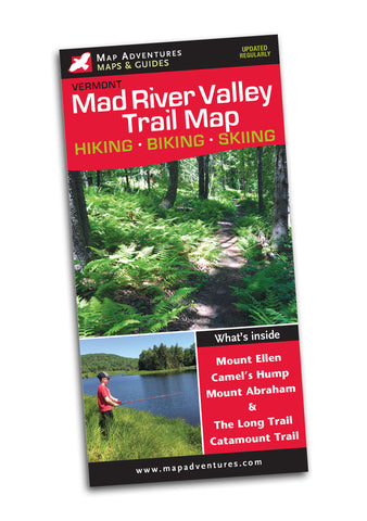
Northern Vermont Hiking Trails
Waterproof Topographic Map and Guide

Order Here
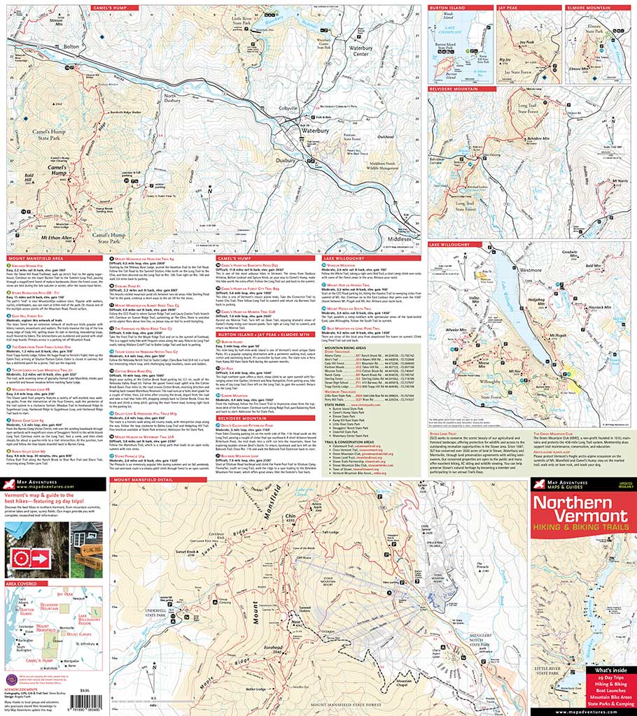
Our Northern Vermont Hiking & Biking Map is like having a best friend that can tell you where all the great places to explore are. Some are secret hideaways – others are the most popular tried and true adventures.
Map Features
- 29 Suggested Day Trips
- Mountain Biking Areas & Trails
- Boat & Kayak put-ins
- Eight State Parks
- Camping & Points of Interest
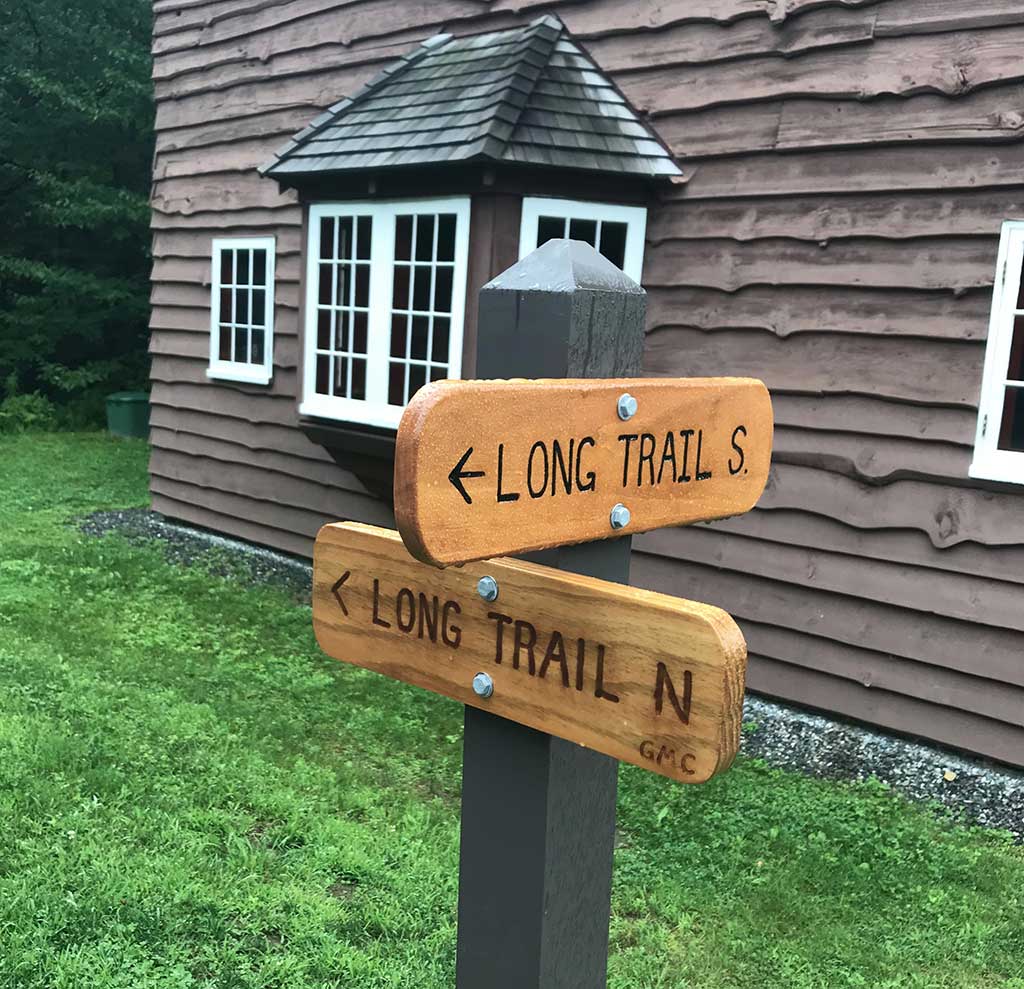
- Sections of both Long Trail & Catamount Trail
Areas Covered
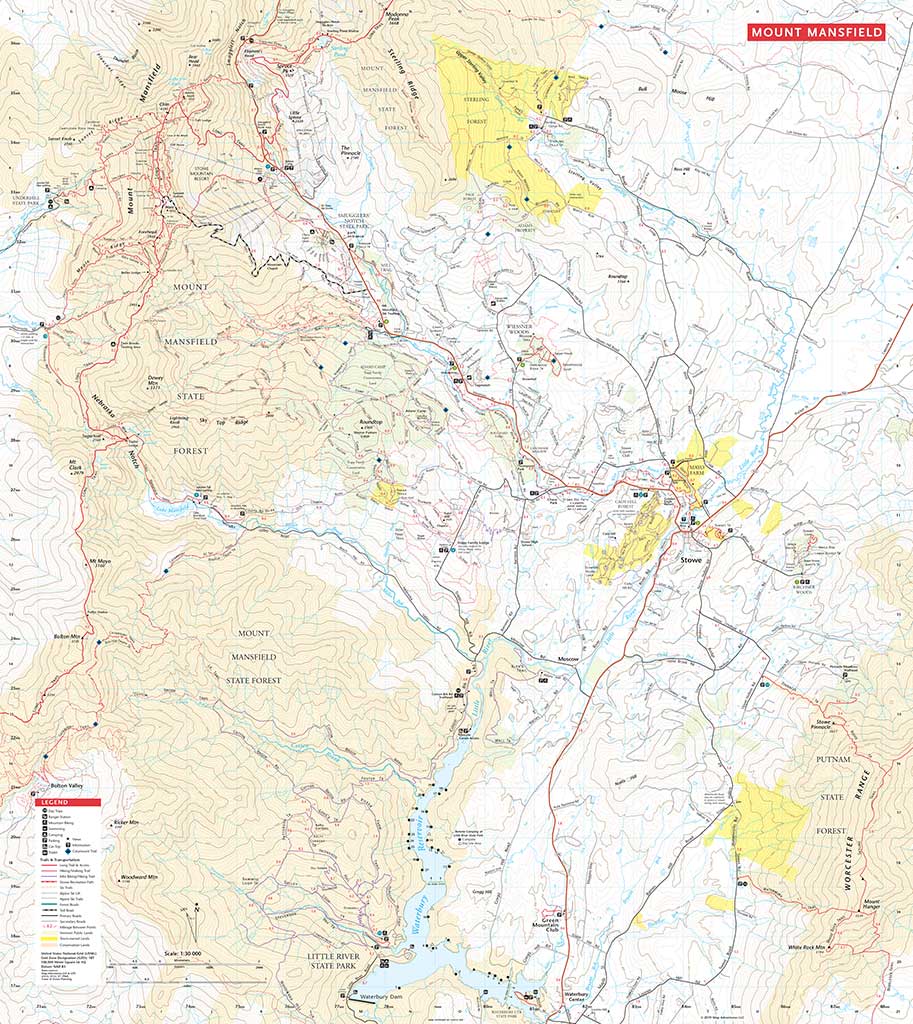
- Mount Mansfield
- Camel’s Hump
- Little River & Smugglers’ Notch State Park
- Belvidere Mtn & Lake Willoughby
Waterproof Map | 24" x 27" | ISBN 978 1890 060480 | scale 1:30 000 and 1:50 000 | Map Adventures LLC
Digital Version Available
Our digital map versions are the perfect companion maps to our content rich, maps & guides. Download the map on your devices to easily track your location on the map.
Click on the link to buy a digital version of this map for your IOS or Android device.
Download Digital Map