Peaks Island, Maine
Map & Trail Guide
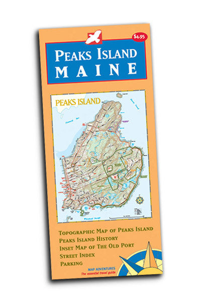
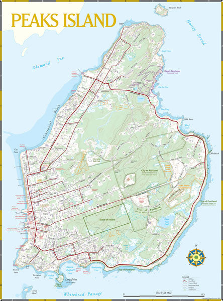


Peaks is only two miles long by one mile wide, making it easy to manage without a car. Visitors quickly discover the best way to explore the island is on foot or by bike.
To get to Peaks, you take a 20-minute ferry ride from the Casco Bay Ferry Terminal in downtown Portland, Maine.
Map Features
- Island history
- Museums
- World War II historic bunkers
- Services on the island
- An island street index
- Peaks Island Land Preserve holdings
For maximum convenience, we encourage you to take advantage of the unique pedestrian lifestyle Peaks offers, and leave your car on the mainland. This map helps by giving you
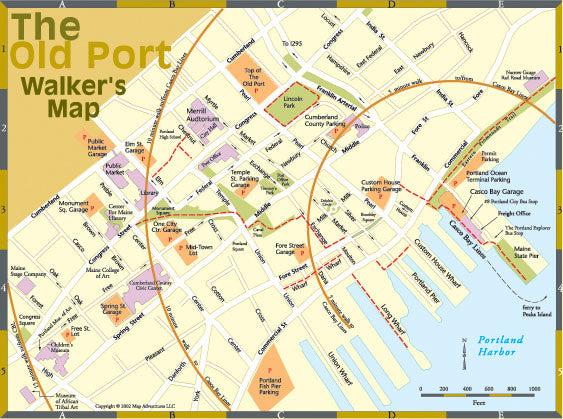
- An index of parking garages (with phone numbers) in Portland's Old Port
- Parking garage locations the Old Port Walker's Map, with street names
- A walker's grid, showing areas within the Old Port that are only 5, 10 and 15 minutes' walk from the Casco Bay Ferry Terminal
Year-round residents are first and foremost an island community, a group of neighbors who depend on each other for support and goodwill throughout the long winter months.
After Memorial Day, the island turns into a bustling summer retreat with the return of the "summer people" and day-trippers who take the ferry out to walk or bicycle around the island.
Map: Paper | 12" x 24" unfolded | ISBN 1-890060-14-3 | scale 1:50 000 | Map Adventures LLC