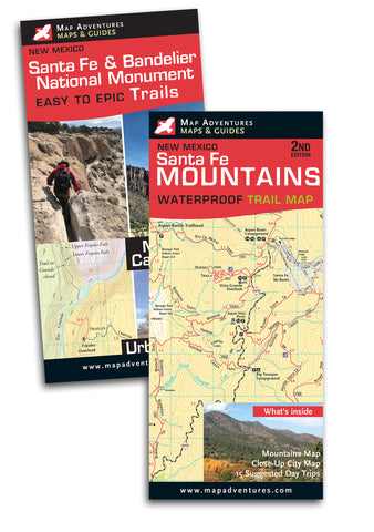
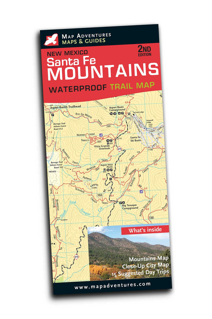
Santa Fe Mountains
Waterproof Trail Map
Order Here
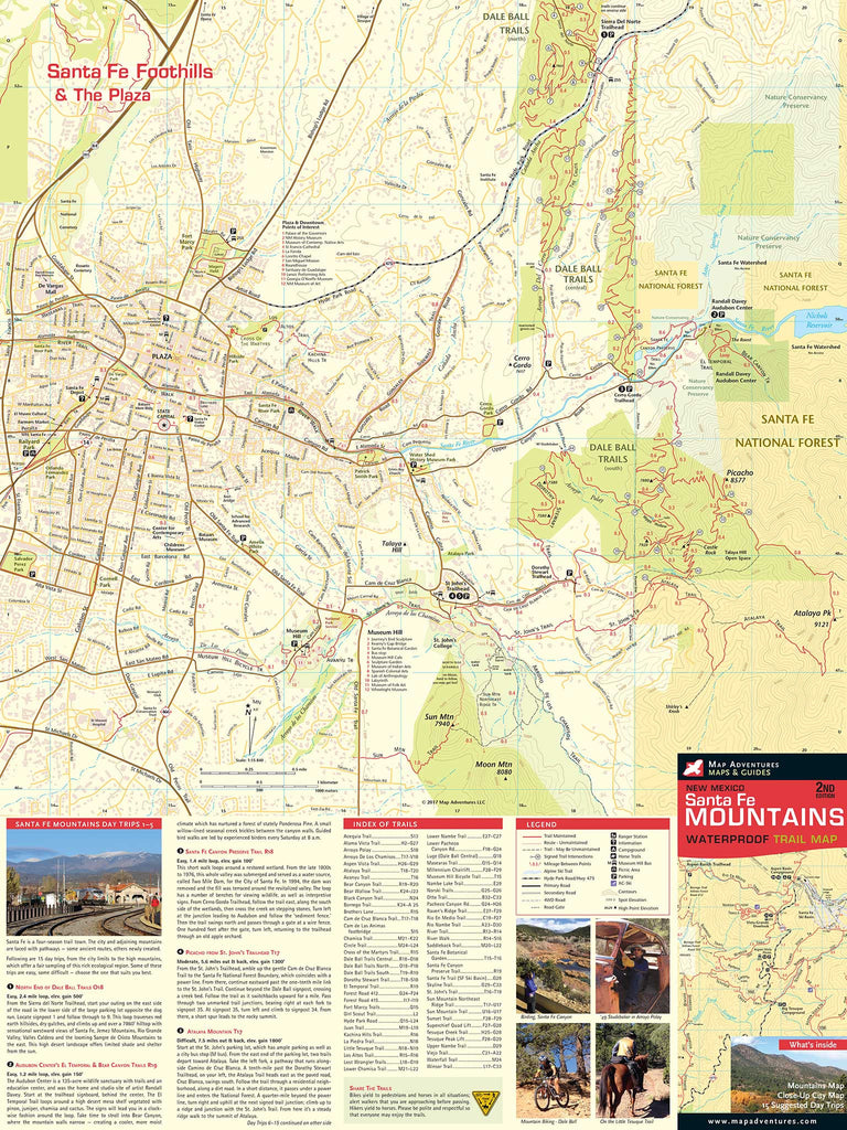
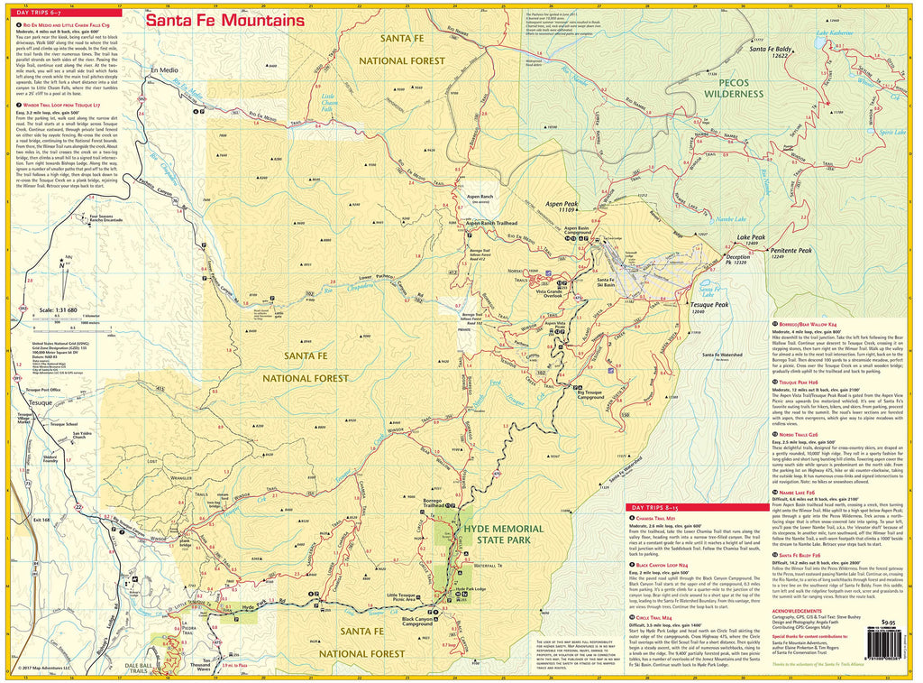
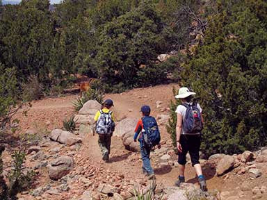
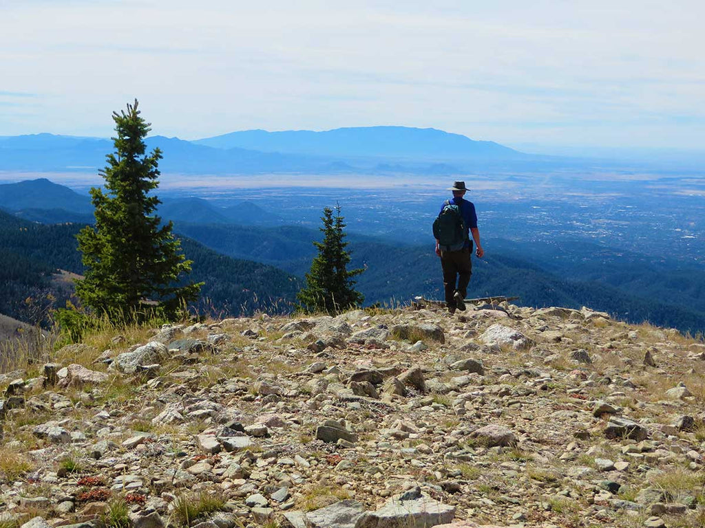
Santa Fe has some of the cleanest air in the country and boasts an average of 300 days of sunshine a year. Whether you're hiking up Deception Peak’s 12,320-foot summit or walking or mountain biking the city’s Dale Ball Trails at the lower elevations, you'll appreciate the special beauty of Santa Fe.
Map Features
- 15 suggested day trips
- Route difficulty, elevation and miles
- Trailhead locations
- Miles between points
- Multi-use trails
- Camping
- City parks
- Points of interest
- Road names
Areas Covered
- Santa Fe National Forest
- Pecos Wilderness
- Dale Ball Trails
- Hyde Memorial State Park
- Audubon and conservation lands
- City map of downtown Santa Fe
Map: Waterproof | 18 x 24 in | ISBN 978-1890060381 | scale 1:15 840 000 and 1:32 680 | Map Adventures LLC
Digital Version Available
Our digital map versions are the perfect companion maps to our content rich, maps & guides. Download the map on your devices to easily track your location on the map.
Click on the link to buy a digital version of this map for your IOS or Android device.
Related products